Right Hand Fork, Little Cottonwood Creek

When March rolls around every year, I start suffering from cabin fever. And this year was no different. Actually it was a little different. It was different because I had it worse probably than ever before. The deep freeze of January really brought the hermit out in me, and I spent a lot of time inside. I didn't get out fishing once in November clear through until two weeks ago. I did get out snowshoeing once, but it was a short trip and did absolutely nothing fill my "need-to-get-outside" canteen.

During the past two weeks I've spent a lot of time pouring over topo maps and satellite imagery on Google Earth, planning and plotting and scheming all the different trails to hike and places to pitch a tent. I've spent a lot of time doing maintenance on any gear that's needed it. I've spent a lot of money (throughout the winter) getting new pieces of gear.

I've got a plan in mind starting in May for sure—it may have been put into action last night—to spend every Friday night outside. I know there might be one or two that I'm going to have to stay indoors. But the vast majority will be spent under the stars (and no, sleeping in the back of the 4Runner doesn't count).

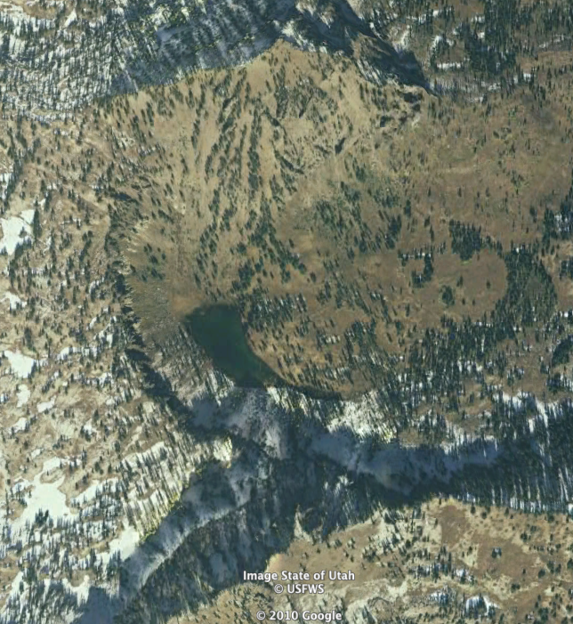
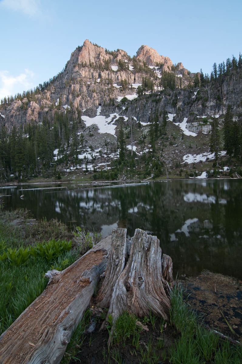
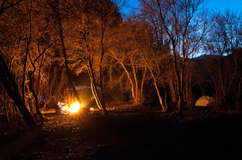
So, this week I made the determination to sleep in my tent. No matter what. Rain or shine, snow or sleet. I ended up taking my default option and went up Right Hand Fork. Mostly because with all the searching of maps I've done, I knew there are several trails that either start there, or branch off of the main trail in that canyon, and I had planned to explore at least one of them today.

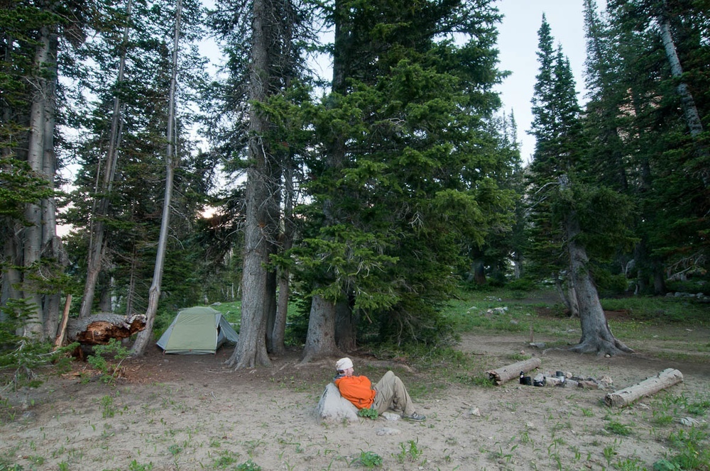
One of my favorite things to do is photograph my campsite wherever I've camped or backpacked in to. Sometimes I include myself in them, sometimes I don't. Last night, I did.

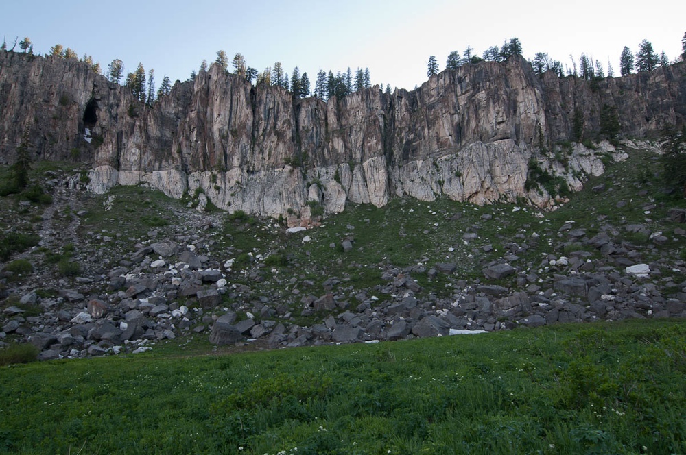
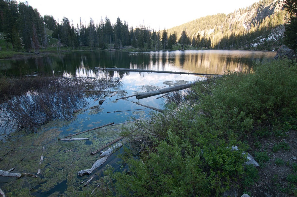
This morning I got up, made breakfast, and headed up the trail that follows Little Cottonwood Creek. It's a gorgeous little trail that eventually turns into an old road (I don't know the history of it, but it looks as though it hasn't been used for several years).

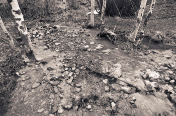
This little stand of aspens caught my eye, and I had to stop and make a few photographs.

One thing about hiking and backpacking I like so much, is it gives me time to think. Without any distractions, I can just let my mind either drift from random thought to random thought, or I concentrate on only one thing. Today I think I stumbled on a new photographic project. The first one I've really been excited about since my BFA project (I know, I know, it's been eight years. Don't judge me). I still haven't noodled all of the nitty gritty details out yet, but I at least have a Departure point.

Backpacking Peeves

I first thought I'd make this a top ten kind of list, but I couldn't really think of ten,Mose here are six things that get my goat in the backcountry:
6. Litter and trash left behind
5. Being loud and obnoxious
4. Wandering off or blazing a new trail where there is an established trail
3. Fireworks
2. Unattended fires
1. Empty campsites with still-smoldering coals

Bucket List

Being an avid back packer, fly fisher, and climber, there are several things on my bucket list. Maybe by writing them down here, I may be held to getting a few of them crossed off.

Fly fish Patagonia
Fly fish New Zealand
Backpack the entire Continental Divide Trail (even if I have to do it in stages)
Climb El Capitan
Climb The Grand Teton (no, I've never bagged that peak)
Go after steelhead in British Columbia
Fly fish for bonefish, tarpon and redfish
I'd put down a trip up Everest, but I have to be somewhat realistic with this list

Lastly, I think the biggest thing on my list is to just be happy and enjoy life whether I'm half way through a pitch on the Nose of El Cap, double hauling to bonefish on the Florida flats, or sleeping under the stars somewhere between Canada and Mexico.

White Pine Lake

This weekend I escaped to White Pine Lake in the mountains east of Logan. I think I needed this trip more than I needed the City of Rocks trip last weekend. I know I came back a lot more invigorated.
I'd only been to the lake once. It sits in a bowl about four miles north of Tony Grove Lake, and about 6 miles west of the main highway in Logan Canyon. Two mountains sit directly to the north (Mt. Gog) and south (Mt. Magog) of the lake, connected by an arc-shaped band of cliffs. Here's what the area looks like from Google Earth:


I left the parking lot at Tony Grove lake at about 6:45 a.m. yesterday, and arrived at the lake at about 8:38 a.m. I spent the day fishing, and totally getting skunked, napping, meditating, and photographing and just enjoying the gorgeous place I was in.
There were a lot more people and campsites there than I had thought there were, and hoped there would be (people have to camp in established camp sites at the lake). For much of the day yesterday I had to deal with hearing people in the campsite next to me shout at their dog, and other people who didn't know how to build a proper fire, and then put someone's fire out who left it smoldering and smoking. But after about 2 or 3, there were only 3 other groups beside myself, and it got a lot quieter and I was able to enjoy some silence. Once the light got half way decent I got my camera out and made some photographs:

I have to wonder if these cliffs have ever been climbed. There were about four or five real nice looking lines, with a lot of variety in the moves to get up the rock. The photograph doesn't really do them justice, but I had to photograph them anyways.


Mt Magog:


I like to photograph my camp sites when I'm out on the trail, and this time I thought it would be fun to make a self portrait out of it:


All in all, it was a great 29 hours in the woods that I wish hadn't had to end.