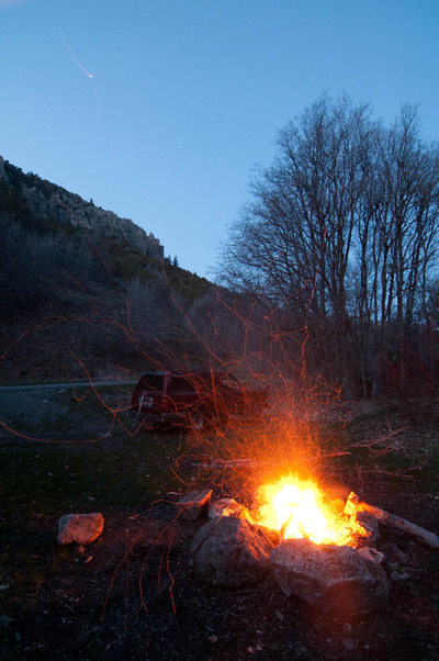
Wanting to see a different part of the Bear River Range, I decided on hiking the trail up Temple Fork this weekend. But not before spending the night in Right Hand Fork Canyon again. I've mentioned how convenient Right Hand Fork is for just pulling off the road and pitching a tent. Skipping the tent and just sleeping in the back of the 4Runner makes it even more convenient. I know, I said I wasn't going to cheat and do that, but it allows me to hit the trail much earlier than if I'd pitched a tent, and I wanted to be on the trail as early as possible. Partly for the nice morning light for photographing, and partly because when the weather gets warm, as was forecasted for today, I like to hike in the cool morning air.
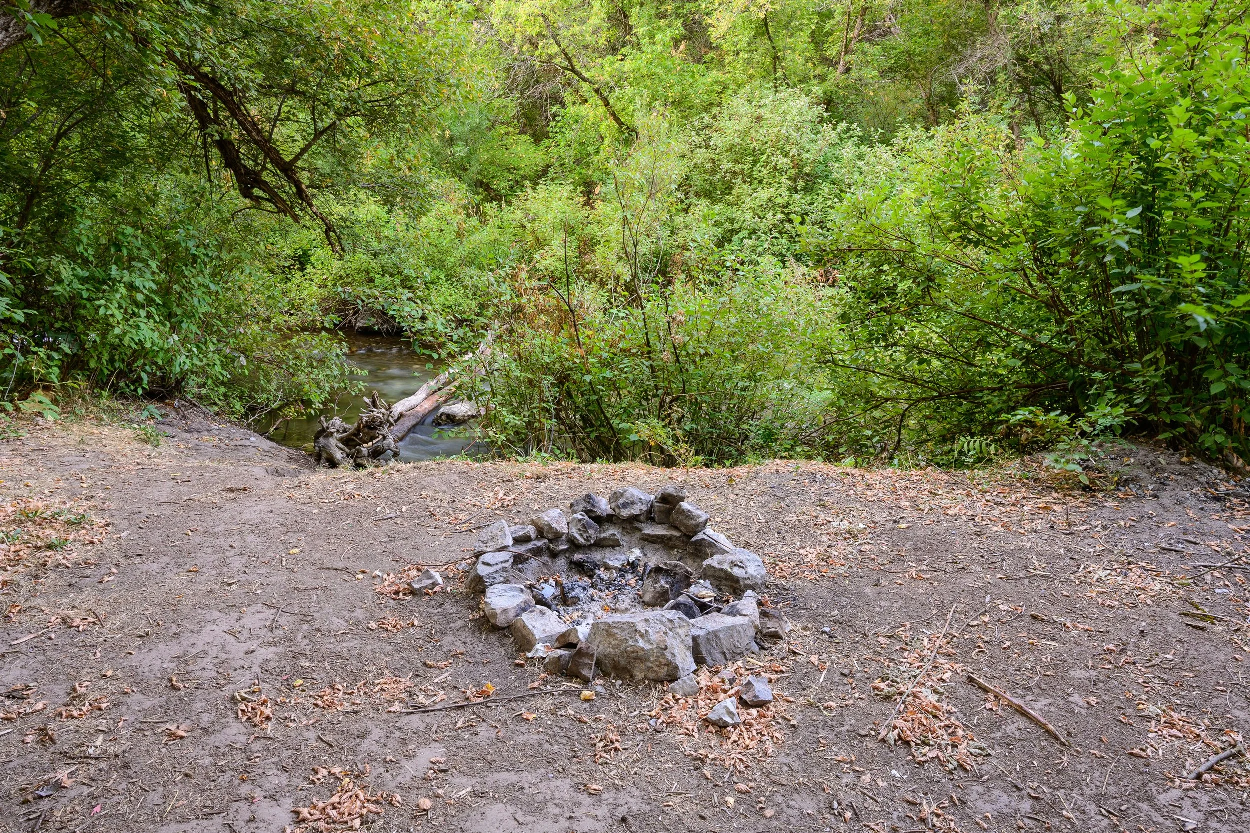
I've decided to try and incorporate Right Hand Fork to be it's own photographic project, as I mentioned I thought of doing last week.
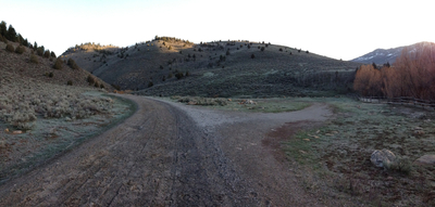
This morning I was on the trail by about 6:30. There is a dirt road that connects Temple Fork to Right Hand Fork, Left Hand Fork, Blacksmith Fork, and if you take the right roads, you can end up at Bear Lake. Right now, those roads are gated off, and any hikers wanting to hike the trails up Temple Fork, have to start at the gate, adding about a mile to the overall trip, not that that's a bad thing.
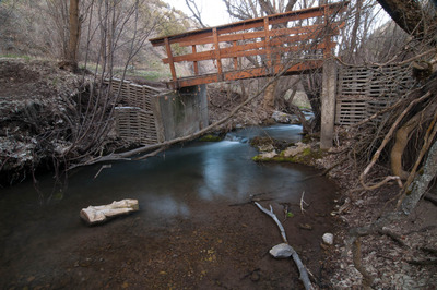
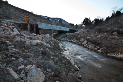
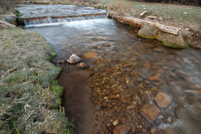
I made it almost all the way across this bridge and then thought it just needed to be photographed.
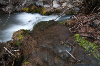
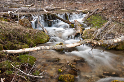
A little further up, I turned around and saw this:
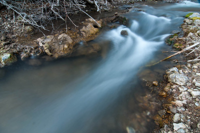
Then walked another hundred feet or so and photographed this:
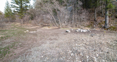
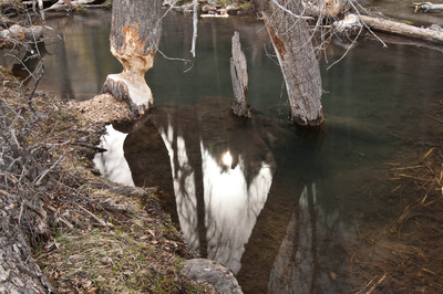
At the actual trailhead to the Temple Fork Sawmill Site (more on that later), there is a beaver dam. I made this photograph:
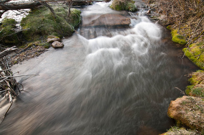
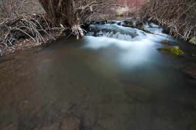
And then this:
And this:
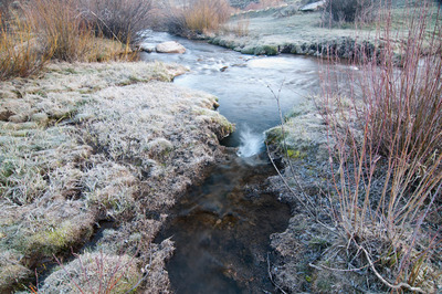
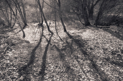
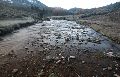
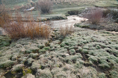
I continued following the stream off-trail, stopping and making photographs as I saw them, which was pretty often. Here's just one of them:
I'm not 100% satisfied with most of the others. I'll need to spend some time with them, and I'll post them later if I deem them worthy of a blog post.
After I'd made that photograph, I finally got back on the trail, and set out for the Sawmill.
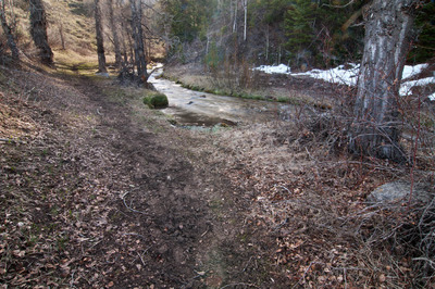
The trail parallels the stream the whole way, never getting more than about 100 feet away from the water, so the hiker is constantly accompanied by the sound of the water dribbling over a shallow bed of pebbles, or crashing over feet-high drops in elevation. The chirping of birds waking up also provide more melodies and harmonies to the score of mother nature's soundtrack.
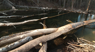
Continuing south, and then bending to a more easterly direction, the trail passes several more beaver ponds, that look to be uninhabited (I vaguely remember hearing that all the beavers up on the Temple Fork have been removed). This one, however looked a little less "unoccupied:"
I had been periodically making video with my phone (which I may or may not post to Youtube when I get it all edited and put together), and as I was walking and recording, I came upon this beaver pond. There's a pretty big grove of Cottonwood trees that the beaver has really been hard at work at cutting down. If that beaver has been removed, it wasn't removed before it felled a few dozen trees, all about twenty-plus inches in diameter, and getting half-way through several more, and even more smaller trees. It's lodge alone was around twenty feet in diameter—one of the largest lodges I've ever seen. It was all rather impressive that a rodent so small could have that kind of impact.
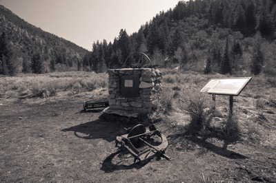
The Temple Fork Sawmill was built by Mormon settlers in 1877 to provide lumber for buildings in Cache Valley, including the Logan Temple, and ties for the Utah & Northern Railroad. It ceased operation in 1883 after having produced an estimated "2.5 million board feet of lumber, 21,000 railroad ties, 900,000 laths, 2,000,000 shingles, 50,000 pickets, charcoal and an uncounted number of broom handles." It burned down in 1886, and wasn't rebuilt. There is now a monument at the site with a few pieces of equipment.
Of the trails I've hiked so far, this one ranks pretty high. It was absolutely gorgeous, both in sights and sounds.