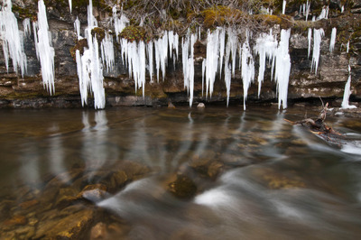
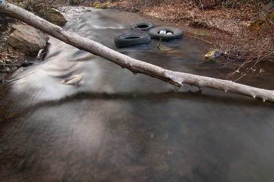
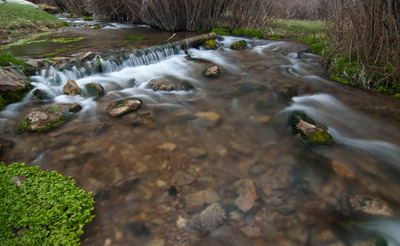
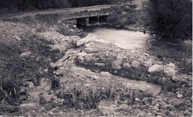
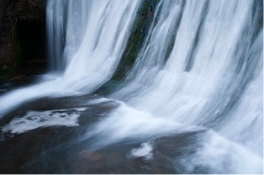
Logan Canyon

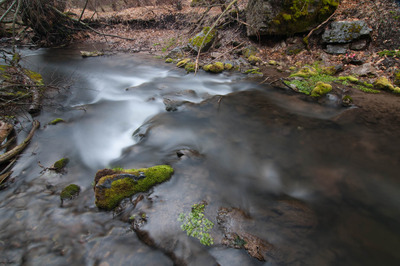
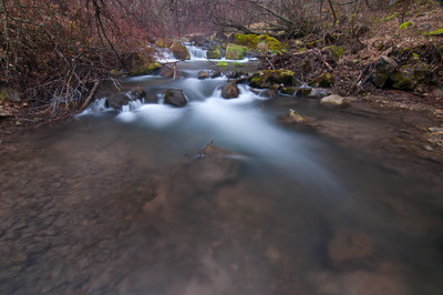
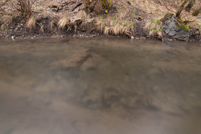
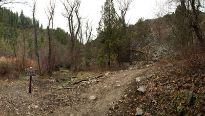
Last night I headed up Logan Canyon hoping to find a different spot than up Right Hand Fork, but the few places I had in mind (I wanted to stay down in the lower parts of the canyon) turned out to not be as good a spot for pitching a tent as I thought, so I ended up back in Right Hand Fork Canyon.

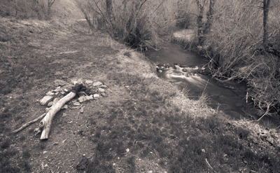
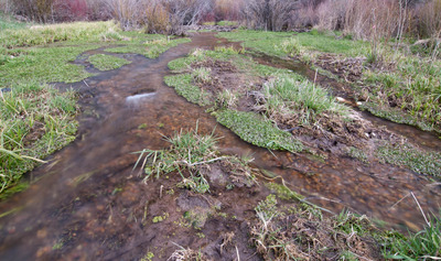
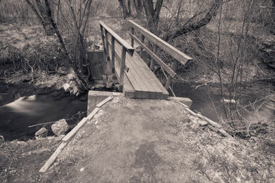
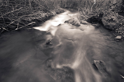
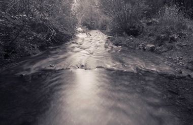
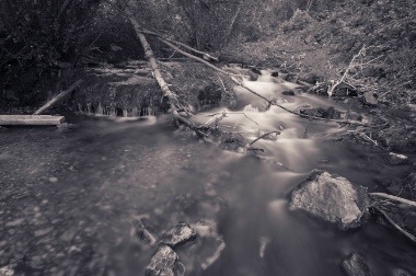
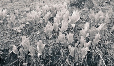
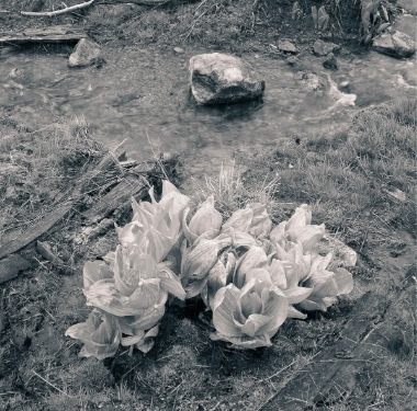
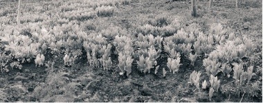
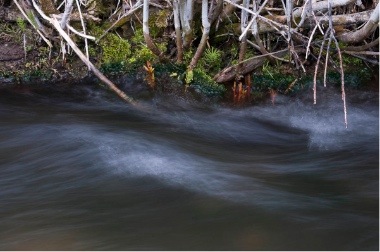
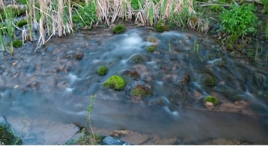
When I first got there, I hadn't really planned on photographing, but it didn't take long before I started seeing photographs that I knew I had better make under the unique conditions that had made me see the photographs in the first place. But, for the first time, I think ever, I was not at all pleased with the photographs I made of the stream. In stead, I quite liked the couple I made of the new plants that have begun to grow and turn the place from a drabby brown into a luscious green (ironically both of those photographs I've posted are in black and white).

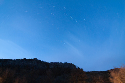
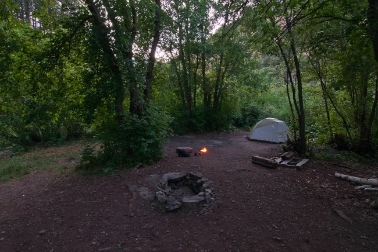
I've always loved the images in the backpacking and climbing magazines of tents lit up from the inside, and I've always tried, and always failed at replicating them. Last night, after so much trial and error (that you only have one chance in 24 hours to test), I finally came away with one that worked.

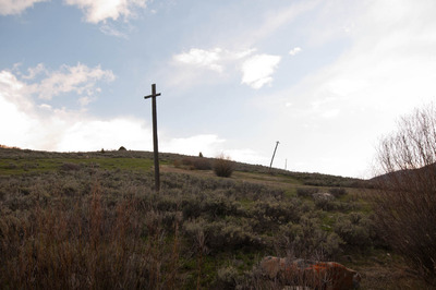
Today, I helped out with the Forest Service put a fence back up that keeps the grazing cattle from destroying the terrain of and around Spawn Creek (see my last post). I met up with the group of people helping out at the Temple Fork parking lot, and while I waited, I had to make this photograph (with my phone, since I was too lazy to get the big camera and tripod out) of the lingering clouds that had dumped their rain all night.

Then, on my way back down the canyon back to civilization, I stopped and made this last photograph:
Spawn Creek

I think last night was the last night I'll spend in Right Hand Fork Canyon for a little while. I need to spend some time away from it in a new place. I feel my images there are becoming homogenous. Then again, photographing there under the morning light would help bring some variety to the work. Anyway, here are some images I made last night:

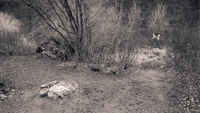
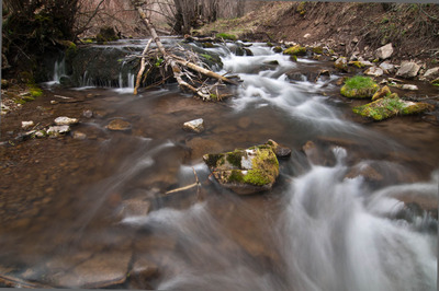
I had decided on hiking up Spawn Creek today, and was on the trail bright and early. Well, it was actually kind of dark, but plenty early. Spawn Creek is a small creek in the Temple Fork watershed. It drains into Temple Fork near the trail head to the Temple Fork Sawmill. And like Temple Fork, there are plenty of beaver ponds along the creek, with schools of Bonneville Cutthroat Trout that spook easily. I'll have to take my rod up there one of these days. It'll be a perfect test of how stealthy a fly fisher I am.

Temple Fork and Spawn Creek, along with the upper Logan River in the Franklin Basin, are spawning habitat for the Bonneville Cutthroat Trout. An old road used to parallel Temple Fork, and overgrazing, and general misuse of the land lead to poor water quality in the Temple Fork watershed. In 1999, the old road was removed, along with stream-side campsites, and the area was rehabilitated. Better grazing management practices were adopted. All this has served to greatly improve the health of Temple Fork and Spawn Creek, thus improving also, the health of the Logan River.

At the confluence of the Temple Fork and the Logan, there are two rectangular frames made of 4" diameter steel pipe, and a mesh fence. Since there are efforts to rehabilitate the native cutthroat trout in Right Hand Fork and Temple Fork, I assume, since there are no natural barriers, that these act as the barrier to the brown trout in the Logan River, preventing them from creeping up Temple Fork. I need to talk to the rangers at the Ranger Station and get some better info than just assumptions.

Three of the steel rectangles are placed above the confluence of Spawn Creek and Temple Fork. I assume these are there to direct the cutthroats up Spawn Creek, though I don't know why whatever conservation group would want to block Temple Fork. Again, I need to do some investigating. 

I've always loved the scenery along the highway through Logan Canyon, but there is so much more to see in the Bear River Range and in order to see it, you have to get out of your car and walk, and only those willing to do so are blessed with the rewards of even more beautiful scenery, sounds and smells. I just can't wait for the trees and shrubs to regrow their leaves and the flowers to bloom. Rest assured, I'll be there with my camera when they do.

Right Hand Fork Canyon

Today I realized that with all the photographs of Right Hand Fork I've got, I have a pretty good start at a project of that canyon itself. For such a relatively small geographic area, there's quite a variety of images to be made regarding the canyon and river. Cache Anglers collaborates with the Utah Department of Wildlife Resources and USU to restore the Cutthroat Trout population in Right Hand Fork, and it serves as a launching point to many different trails in the Bear River Range, including connecting with the Great Western Trail.

Last night I drove up and made these while my dinner was cooking over the fire.

This morning I headed up the trail. It only goes up Right Hand Fork Canyon about a mile before it veers up Willow Creek. Another mile further up R. H. F. Canyon, there are some cliffs that I wanted to check out, which means I had to bushwhack a mile through dense brush, and follow the dry streambed. But not long after leaving the trail, the canyon walls narrowed to 20' to 60' wide, with ciffs on either side, ranging from only about 20 about 100 feet tall. The cliffs I had as a destination, according to the topo maps are at least 200 feet tall.

Since the sun can't reach the canyon bottom for very long during the day, there is still quite a bit of snow, and I really would have benefitted from bringing my snowshoes, but I didn't think I'd need them. Anyway, bushwhacking through dense brush and thigh-deep snow can really take it out of you, and add rain to the mix, I threw in the towel before I got too worn out to make it out safely. Once the snow is gone, I'll give it another go.

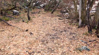
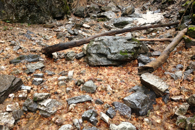
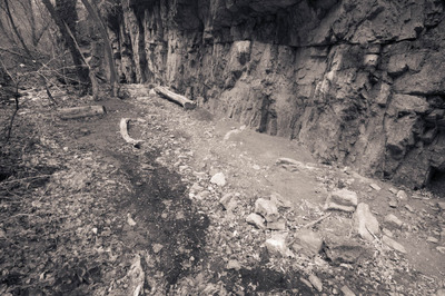
I did make some photographs along the way though.


After the hike, I decided to head up Logan Canyon and see how high up I could get on the road up to Tony Grove. On my way there, I saw this and had to stop and photograph it:

Lots of good images, and plumb tuckered out. I've had a good weekend so far.

Right Hand Fork

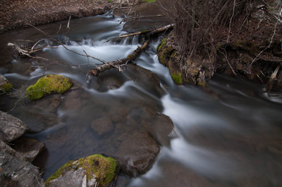
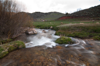
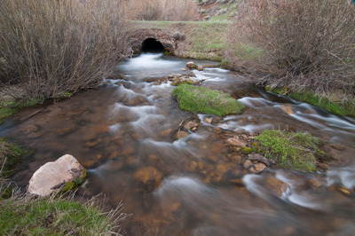
Right Hand Fork Canyon is pretty convenient for a quick overnight car campout. It's only a few miles up Logan Canyon, and there are a good handful of free campspots. And the Right Hand Fork of the Logan River makes for some real nice photographs.

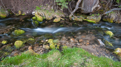
Here are a few I came away with from last night and this morning.


Photographing in Logan Canyon...and Blacksmith Fork Canyon yet again


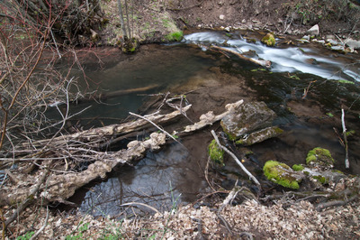
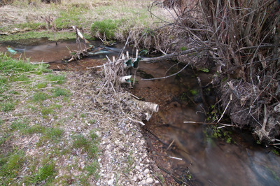
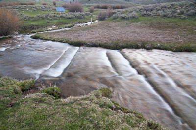
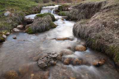
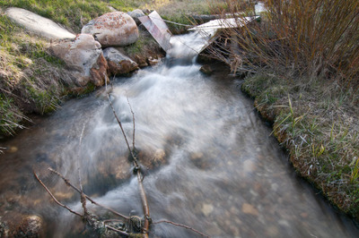
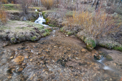
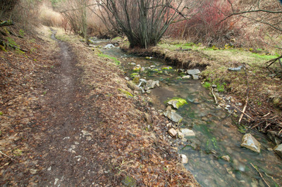
Today I headed up Blacksmith Fork Canyon again to do some fishing, but I broke my leader as I was stretching the coils out of it, and I didn't have any spares, so I decided to head up Logan Canyon and up to Tony Grove to see if Tony Grove Lake was accessible yet or not. It turns out it isn't. There is still a lot of snow on the road about a mile below the lake. I turned the car around and headed back down the mountain. On the way back to the main highway, I saw a small stream from the runoff, and had to see if there were any photographs to be made, and I came away with these:


I'm not sure this is the best way to photograph this tree, but I thought this lone pine tree was rather interesting:


After almost two years I'm finally feeling comfortable with photographing the landscape here around Logan, specifically in Logan Canyon, which has felt somewhat visually claustrophobic to me. It's hard to single subjects out and isolate them the way I like to, but over the last few months I've found it easier to see good photographs.

After I got done photographing along the road to Tony Grove, I headed back down Logan Canyon, and took a detour up Right Hand Fork.
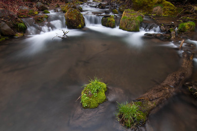
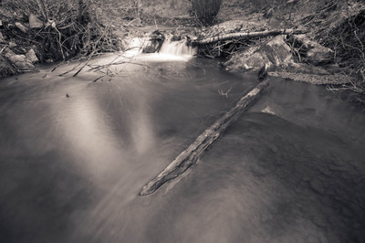
Lately I've really been drawn to photographing scenes with a stationary object that is a relatively minor element in the photograph, with the majority of the objects in the photograph in motion. Like in this photograph:

After I was done in Right Hand Fork, I came back to town, got a few new leaders for my fly line, and replaced the broken one. This evening I returned to Blacksmith Fork Canyon to photograph the dam some more: